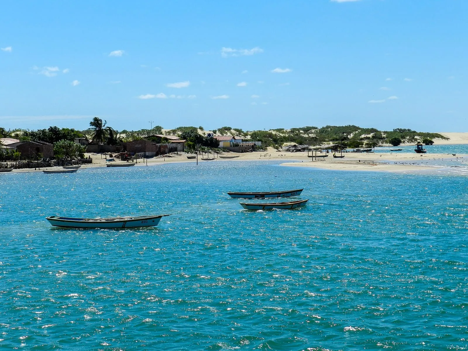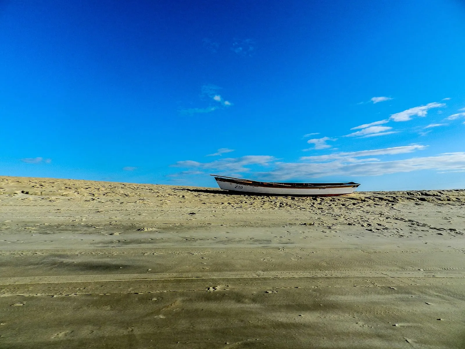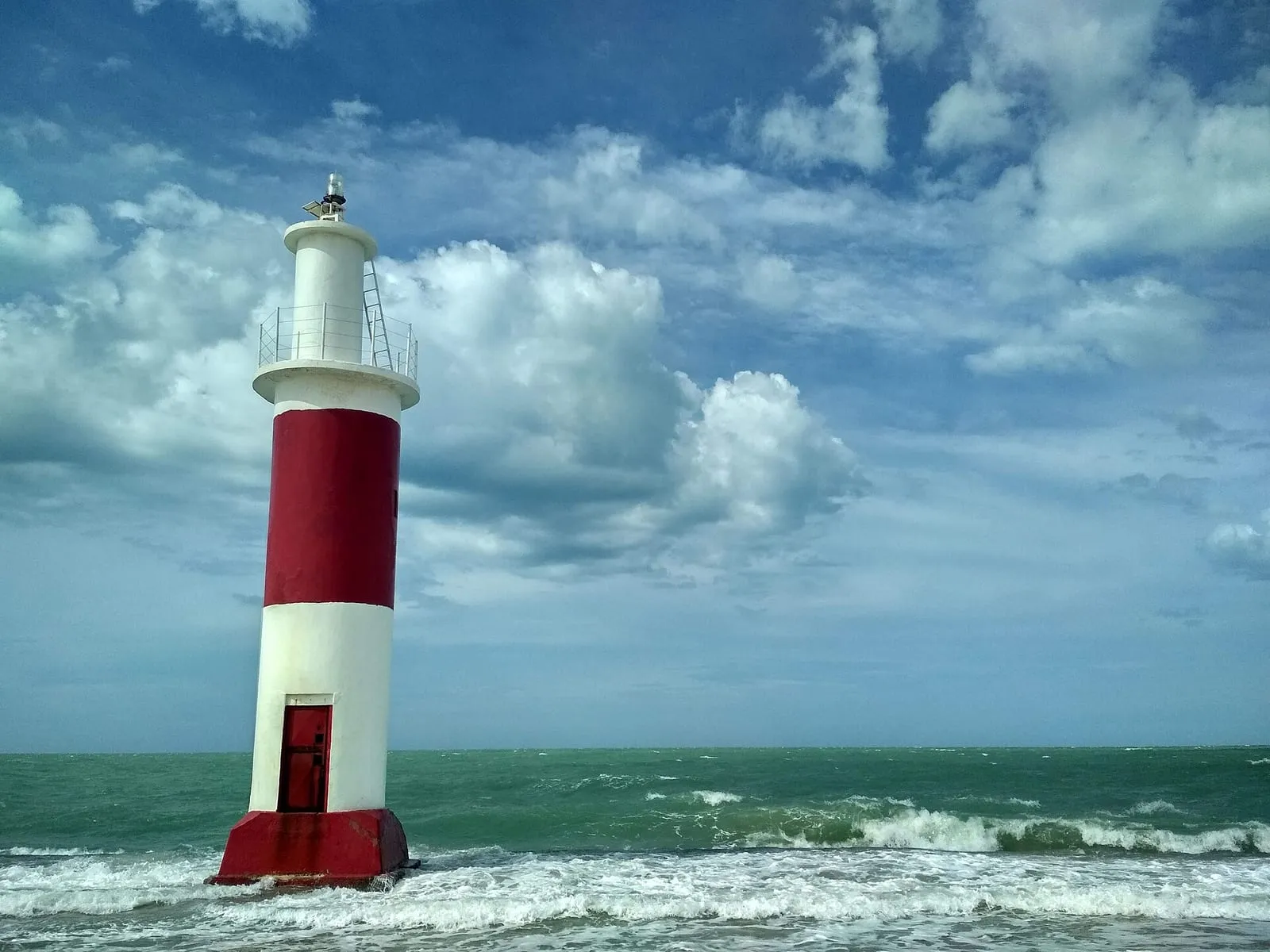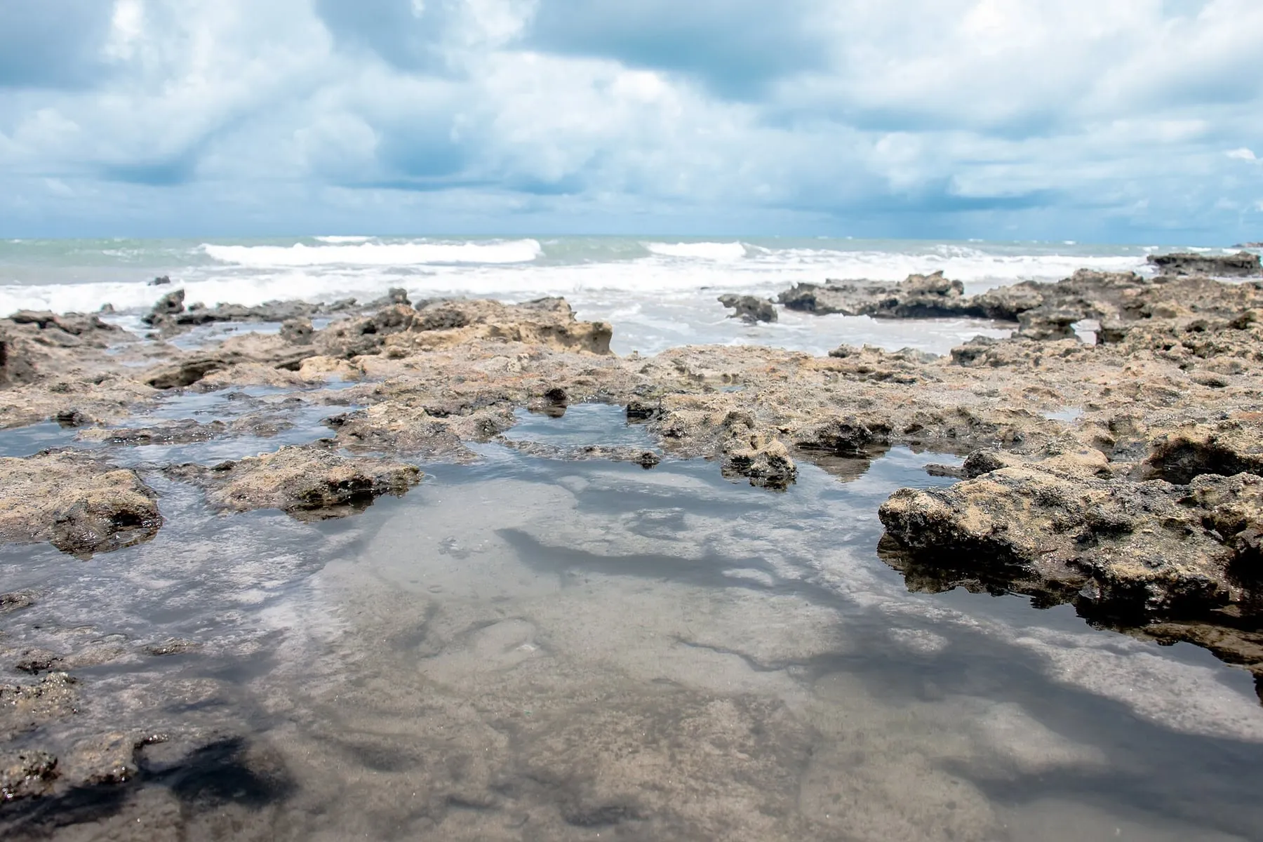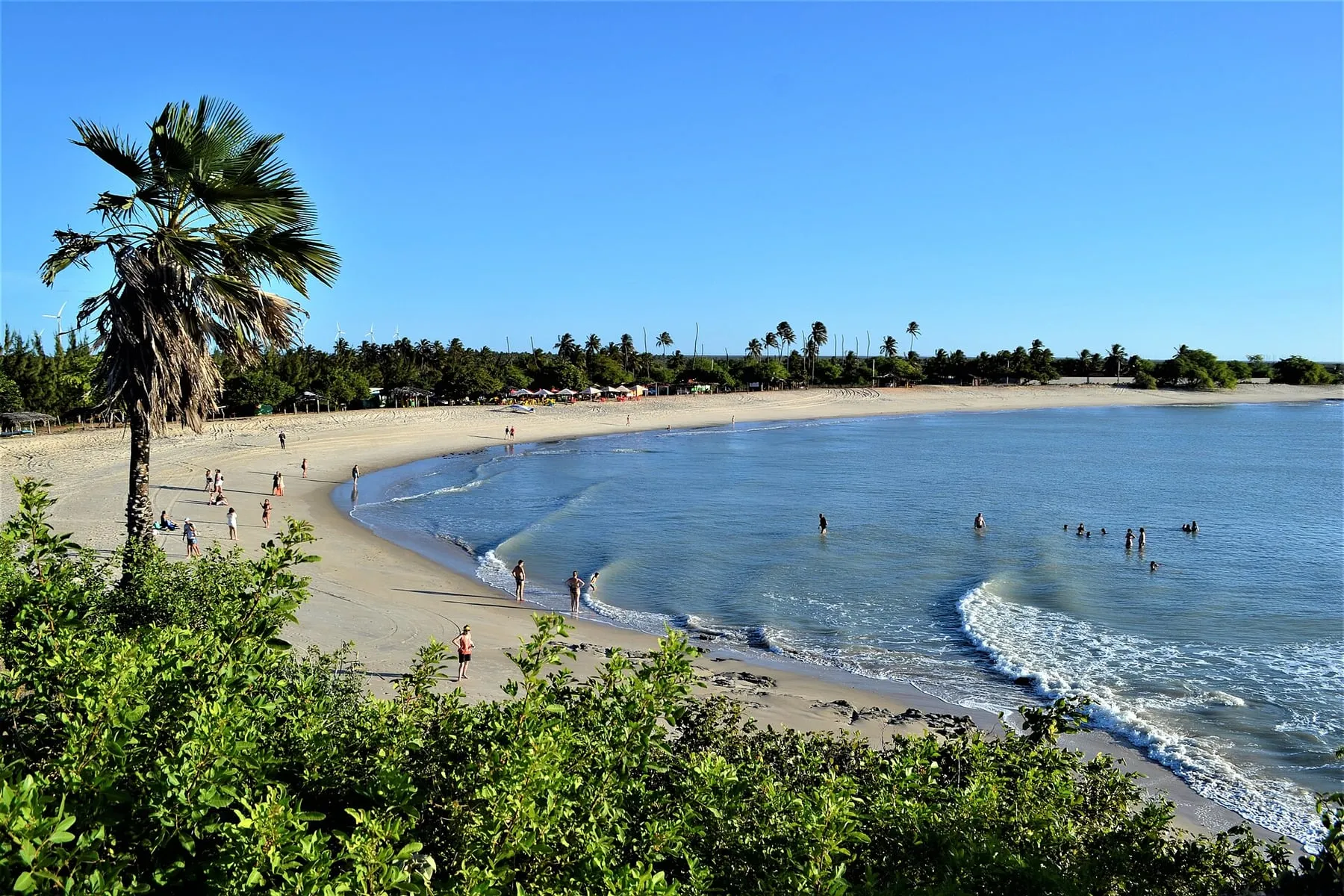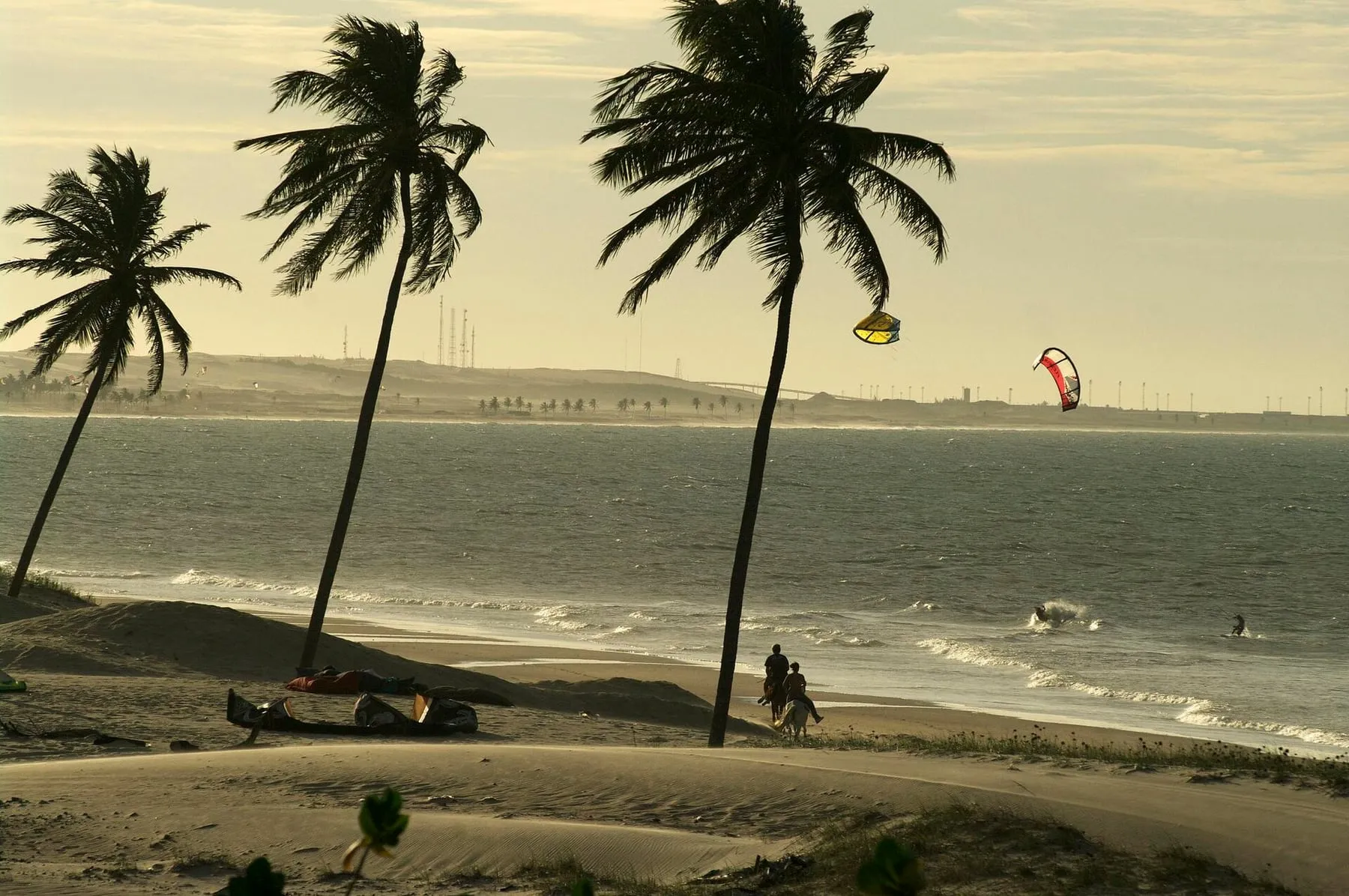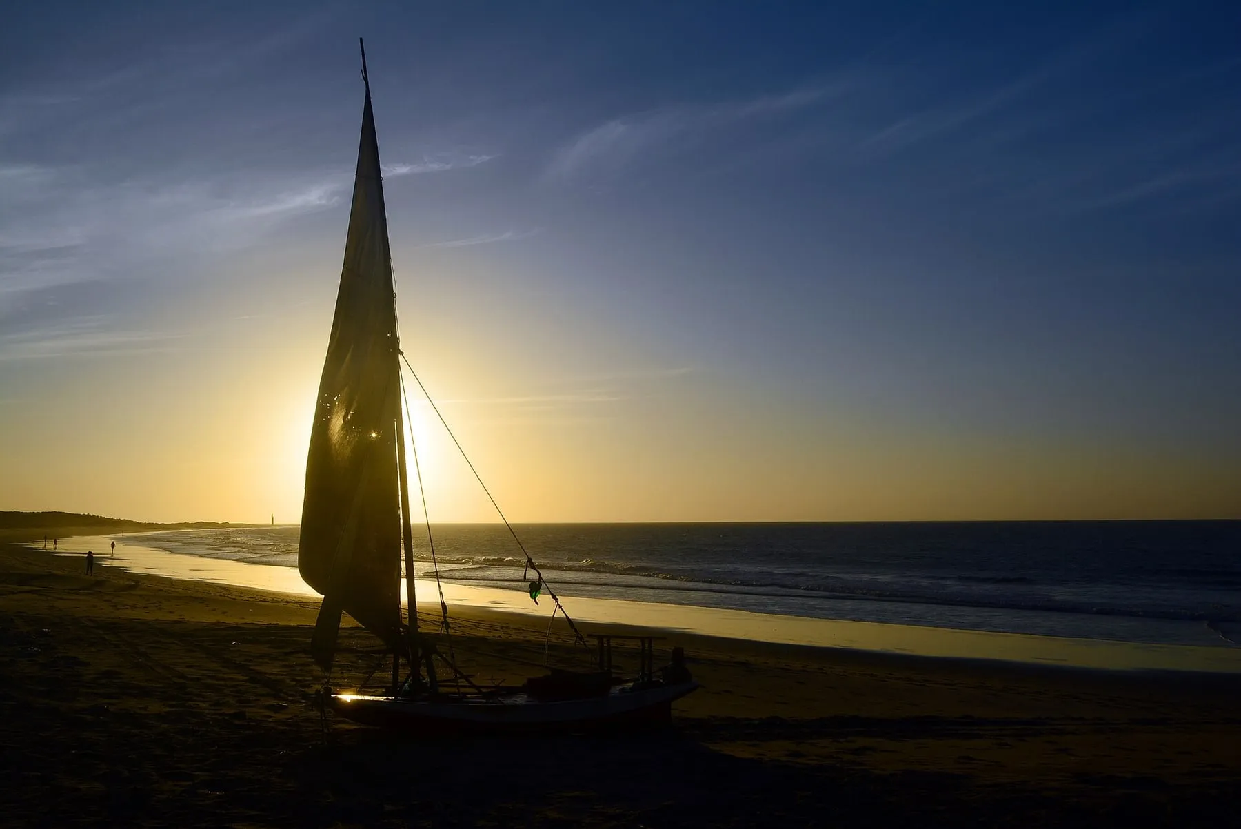
Galinhos is a peninsula on Rio Grande do Norte’s northern coast, between sea and a river arm. No cars—just carts, salt ponds and a fishing village. It’s a destination for those who want to kitesurf away from the hustle.
The spot
The peninsula’s shape creates different conditions on each side: on one, open sea; on the other, areas of calmer water formed by the river and regional lagoons, depending on the tide. This variety lets you choose your water type based on skill level and conditions.
The kite infrastructure is small and the place well isolated. That’s part of its charm but demands planning: arrange lessons, rentals and support before arriving.
For whom
- Those seeking peace: few people in the water and a village rhythm.
- Beginners and intermediates: calm areas with local guidance.
- Adventurers: one of the Northeast’s most unique spots.
Best season
In Rio Grande do Norte, wind season generally runs from August to January, with stronger months between September and November.
How to get there
Galinhos is a few hours’ drive from Natal. The final stretch is usually by boat from the mainland or by 4x4, depending on tide. Many travelers combine Galinhos with São Miguel do Gostoso.
Tips
- Bring cash and supplies: infrastructure is basic.
- Confirm boat schedules and tide times before traveling.
- Read the article on best time for kitesurfing in Northeast Brazil.
Wind month by month
Model forecast for the sea off the spot. Data: MET Norway (yr.no), CC BY 4.0.
Average wind between 10:00 and 17:00, when sessions happen, and the share of days with an average of 15 knots or more.
% of days averaging 15 knots or more: <30% 30–54% 55–79% 80%+· Average wind: knots
| — | Average wind (knots) | Days with 15+ knots |
|---|---|---|
| jan | 14.6 | 49% |
| feb | 13.5 | 39% |
| mar | 11.5 | 16% |
| apr | 12.0 | 20% |
| may | 13.4 | 32% |
| jun | 14.6 | 50% |
| jul | 15.9 | 73% |
| aug | 17.6 | 91% |
| sep | 19.1 | 98% |
| oct | 19.1 | 94% |
| nov | 18.0 | 85% |
| dec | 16.8 | 76% |
Source: 10-year history (ERA5) via Open-Meteo, CC BY 4.0, measured at sea off the spot. This is a climate average, not a forecast. On the beach the wind can differ by a few knots due to thermal and terrain effects. For the coming days, check a forecast such as Windguru or Windfinder.
Photos of the spot