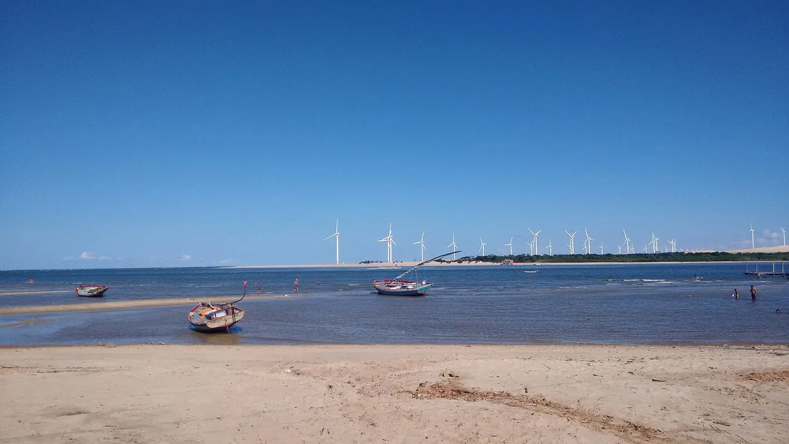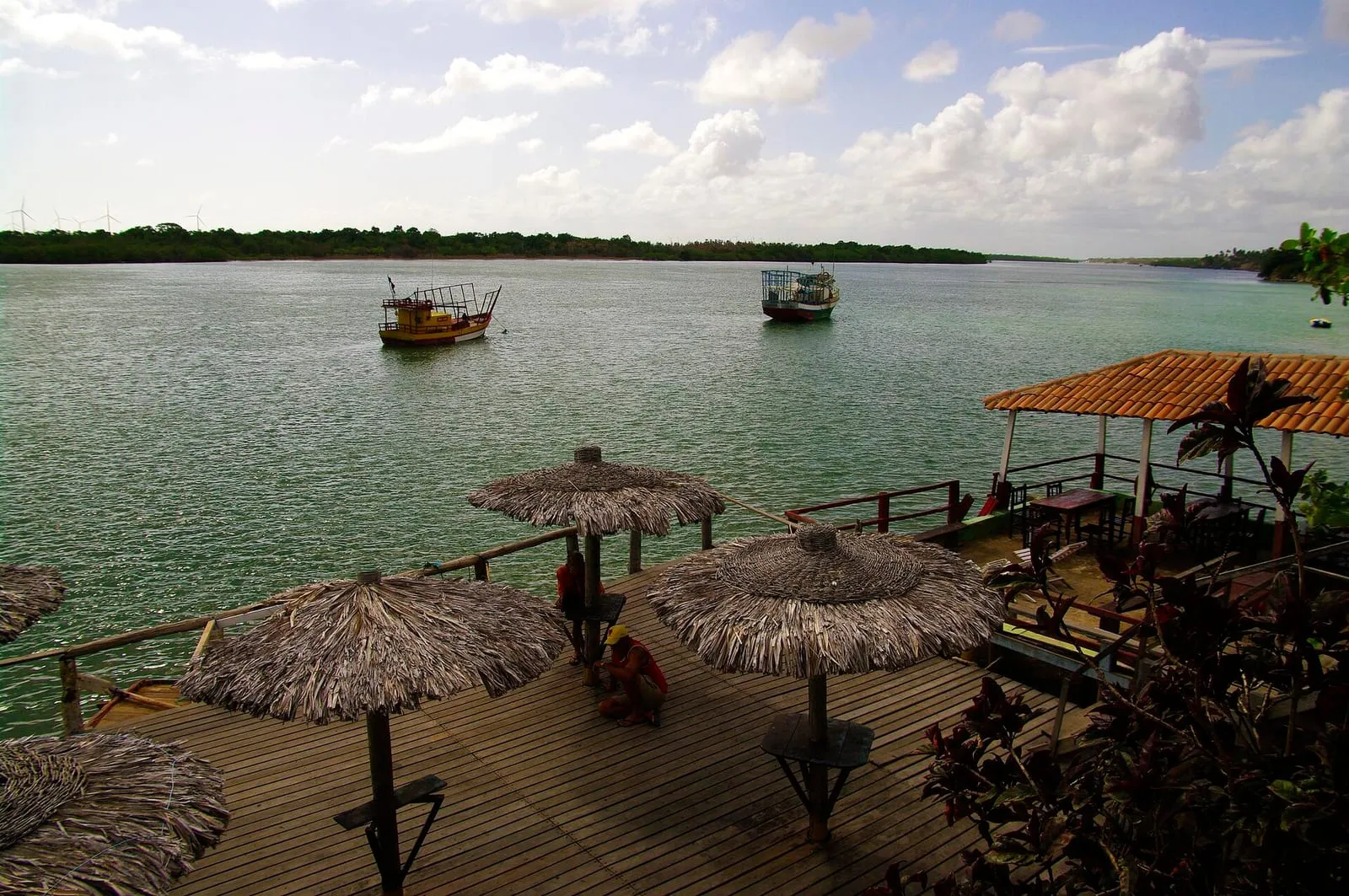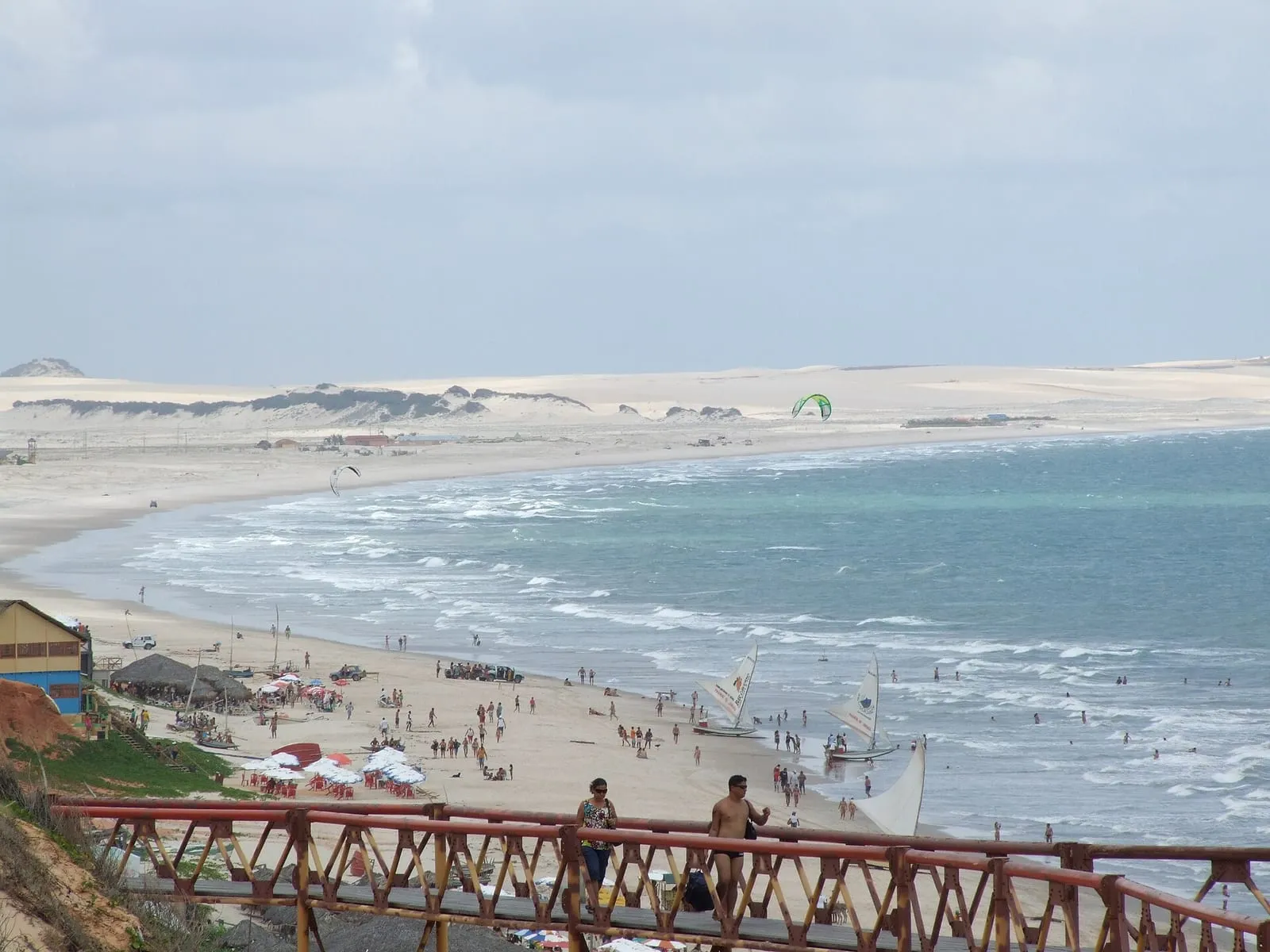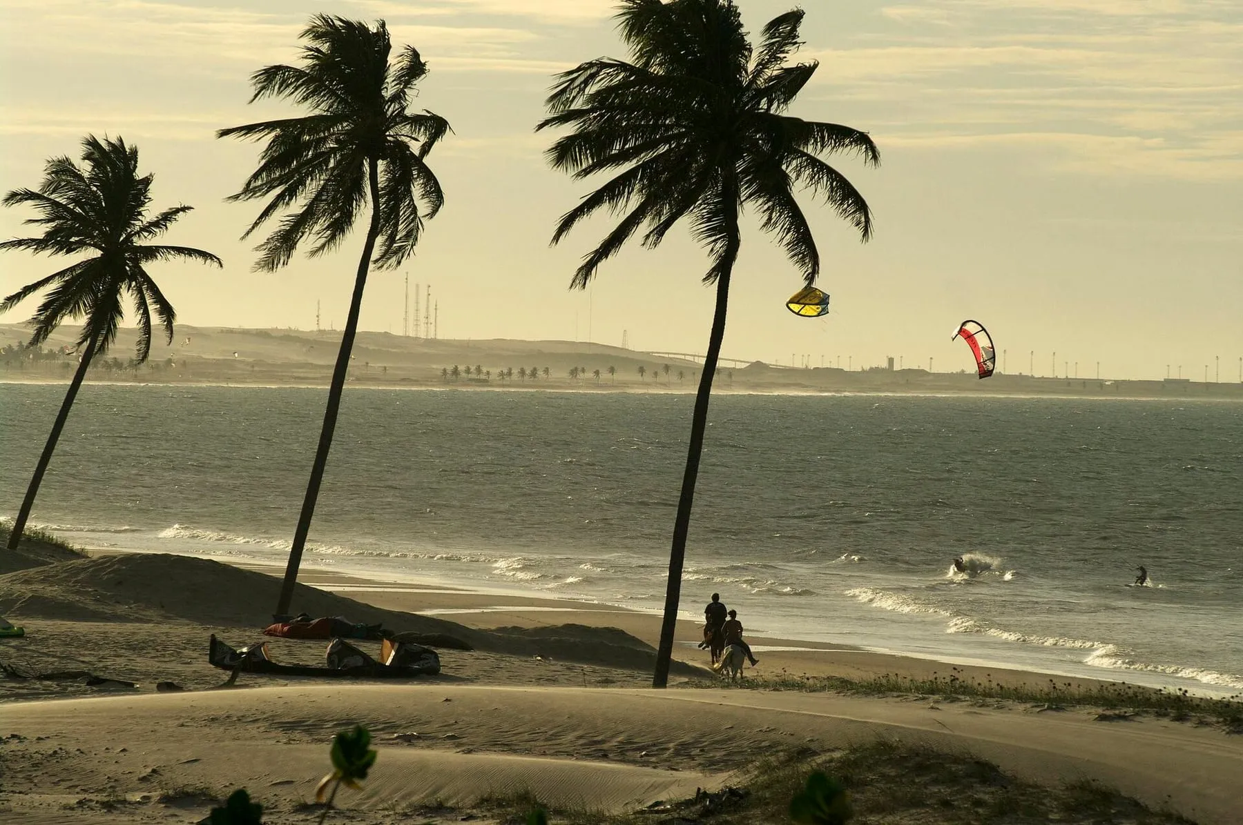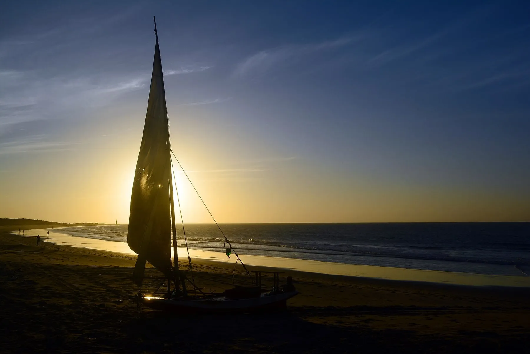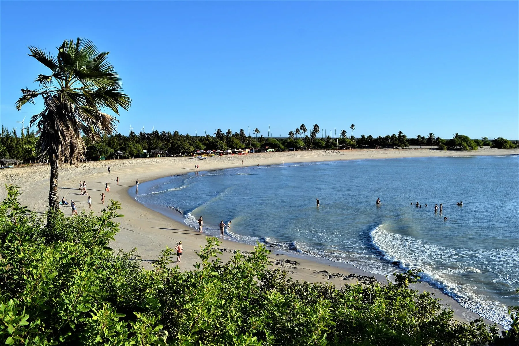
Fortim is on Ceará’s eastern coast, at the mouth of the Jaguaribe River, a few hours from Fortaleza. While the western coast concentrates the famous spots, the east holds wide beaches, cliffs and fishing villages with far less traffic—and the same seasonal wind.
The spot
The Fortim region combines open sea with the influence of the Jaguaribe River, which forms calmer water areas near the mouth depending on the tide. The beaches in the region, like Pontal do Maceió, are long with few people, giving you freedom to ride with space.
Like any river spot, tide and currents change conditions significantly. Before riding solo, talk to someone who knows the place.
For whom
- Those seeking calm: few people in the water, even in season.
- Beginners: with a school, in areas and times they recommend.
- Experienced riders: open sea and downwind opportunities along the coast.
Best season
Season generally runs from July to January, with steadier wind between August and November.
How to get there
From Fortaleza, Fortim is a few hours’ drive along the eastern coast, on the way to Canoa Quebrada. It’s a good choice if you want to explore a different side of Ceará than the traditional route.
Tips
- Respect the river current, especially during low water.
- Kite infrastructure is smaller than in Cumbuco: arrange lessons and rentals in advance.
- See other Ceará destinations on our destinations page.
Wind month by month
Model forecast for the sea off the spot. Data: MET Norway (yr.no), CC BY 4.0.
Average wind between 10:00 and 17:00, when sessions happen, and the share of days with an average of 15 knots or more.
% of days averaging 15 knots or more: <30% 30–54% 55–79% 80%+· Average wind: knots
| — | Average wind (knots) | Days with 15+ knots |
|---|---|---|
| jan | 12.2 | 9% |
| feb | 11.2 | 8% |
| mar | 9.9 | 2% |
| apr | 10.4 | 5% |
| may | 11.9 | 8% |
| jun | 13.3 | 21% |
| jul | 14.4 | 41% |
| aug | 15.2 | 57% |
| sep | 15.9 | 72% |
| oct | 15.3 | 59% |
| nov | 14.5 | 43% |
| dec | 13.8 | 29% |
Source: 10-year history (ERA5) via Open-Meteo, CC BY 4.0, measured at sea off the spot. This is a climate average, not a forecast. On the beach the wind can differ by a few knots due to thermal and terrain effects. For the coming days, check a forecast such as Windguru or Windfinder.
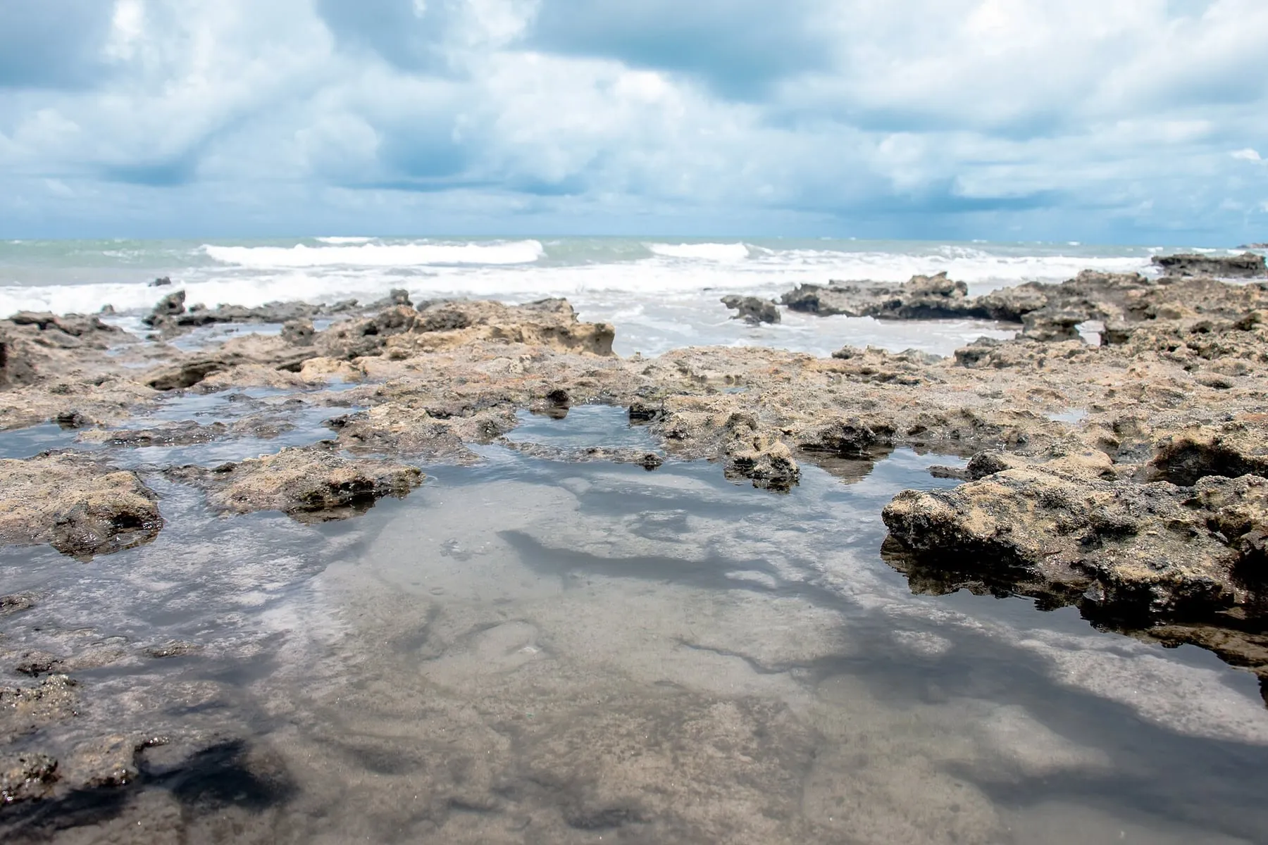
Photos of the spot